G2 - CLASS SOLAR STORM UNDER WAY AS SOLAR WIND HITS EARTH - NORTHERN LIGHTS POSSIBLE TONIGHT
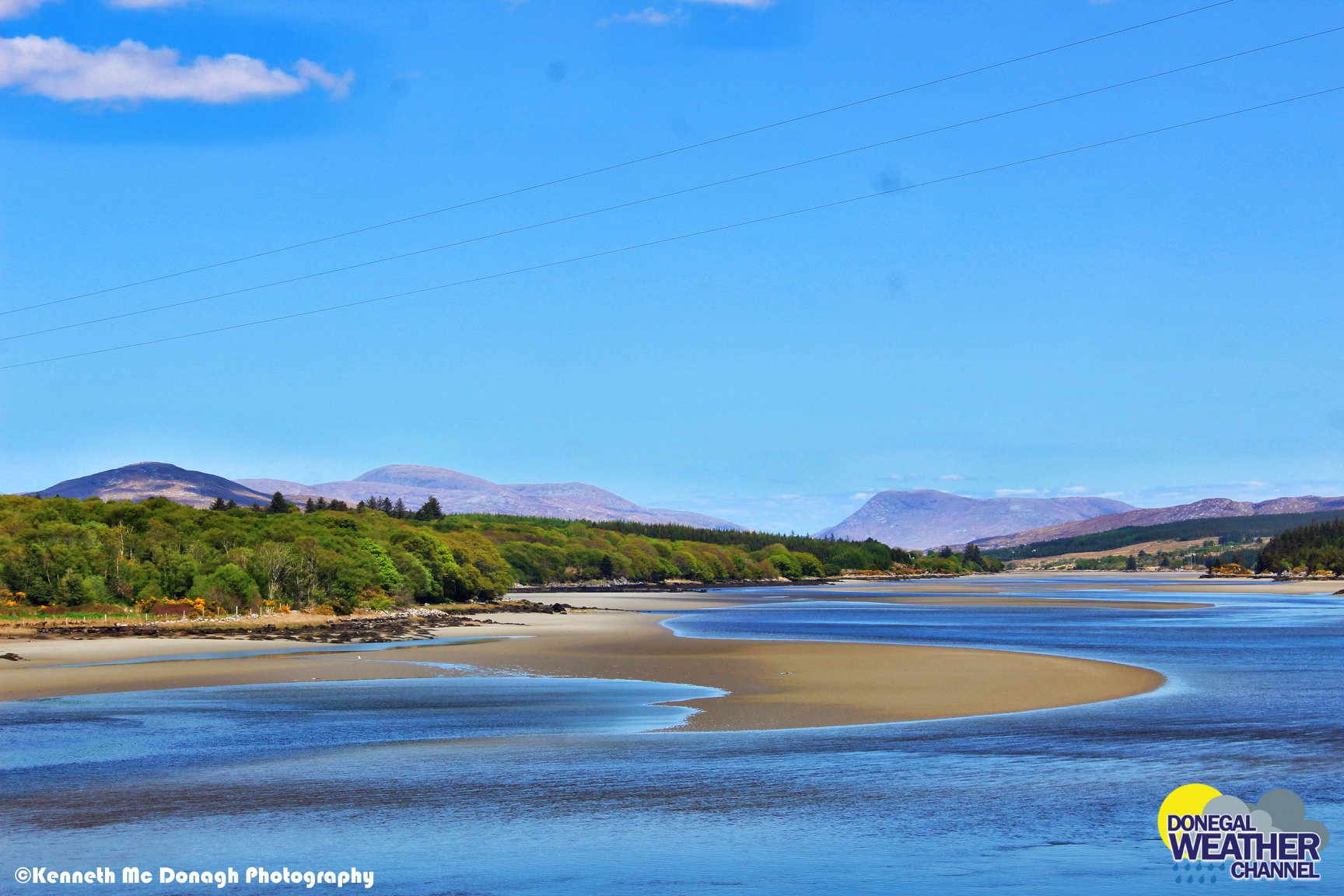
The northern light over Rossnowlagh Beach, Donegal, Ireland Saint Patrick’s night 2015 during a big solar storm. Photo Donegal Weather Channel / Kenneth Mc Donagh Photography
G2-class geomagnetic storms are sparking bright auroras around the Arctic Circle as a stream of high-speed solar wind buffets Earth's magnetic field.
The solar wind stream causing this display is flowing from a canyon-shaped hole in the sun's atmosphere which can bee seen below.
Aurora displays will be possible over Ireland, Scotland, Wales and England tonight and over the early stages of Wednesday morning if conditions hold up over the next few hours.
G2 (MODERATE) GEOMAGNETIC STORM UNDERWAY
Moderate G2 geomagnetic storm (Kp6)
— SpaceWeatherLive (@_SpaceWeather_) September 11, 2018
Threshold Reached: 10:50 UTC
Follow live on https://t.co/Zkq26B89Y7 pic.twitter.com/Skwshp0qQh
The best Aurora app in Ireland, the UK, Iceland and Europe can be found at Glendale sky Auroras where people summit there own reports and I would highly recommend using this app which was developed by a friend in Scotland Andy Stables check out the app at this link https://aurora-alerts.uk/
WEATHER FORECAST FOR TUESDAY NIGHT IRELAND
Late Tuesday evening and over night rain will move in from the southwest of Ireland spreading over Munster and south/Mid Leinster. For southern areas of Connacht rain will also be possible over night before clearing after midnight into early Wednesday morning. Across Ulster and the rest of Connacht there will be a lot of dry weather as the rain doesn't make it that far. Some showers will be possible over Ulster and Connacht but good dry periods too.
Current indications show clear spells moving in from the northwest around midnight which would be good if you want to go Aurora hunting.
Areas with the best chance will be Ulster and Connacht around midnight into the early hours of Wednesday morning if the solar storm does manage to kick into a G1 or G2 storming.
Below I have attached the latest cloud forecast from the ECMWF model which shows clear spells over Ulster and Connacht around mid night Tuesday into Wednesday morning.
The current GFS model run also shows clear spells moving in from the northwest overnight into Wednesday morning.
Cloud forecast from the ECMWF model Tuesday night at 10pm
Cloud forecast from the ECMWF model Wednesday morning at 1am
Cloud forecast from the ECMWF model Wednesday morning at 4am
GFS model run showing clear spells moving in from the northwest around Tuesday mid night into Wedneday morning with rain over Munster and Leinster clearing of the the southeast and east of Ireland.
The northern lights over Donegal Ireland
MOON PHASE
On Tuesday night the moon phase will on have a Illumination: 4% which will not effect any display and sets after sunset.
Waxing Crescent is the first Phase after the New Moon and is a great time to see the features of the moon's surface. During this phase the Moon can be seen in the wester sky after the sun dips below the horizon at sunset. The moon is close to the sun in the sky and mostly dark except for the right edge of the moon which becomes brighter as the days get closer to the next phase which is a First Quarter with a 50% illumination.
September 11
Waxing Crescent
Illumination: 4%
Remember to stay warm if out aurora hunting.
Beware of your surroundings.
Wrap up well
Stay away from light polluted areas.
Get somewhere with a good view northwards.
Its Ireland so always make sure you stay dry
Hot drinks are always good if your gonna spend long periods out
Flash lights
Let your eye adapt to the night sky
Always carry a phone and let someone know where you will be
If photographing iso setting of around 800 to 1600 are good with at F3.5 (18mm 55mm lens)
Don,t go out and expect them to be just there as they don't work like that, Its a waiting game sometimes depending on the display and weather.
The Aurora may look like a white glow on the horizon depending on the strength of the solar storm. If it is a strong solar storm then colours are also visible espically if it goes into out bursts with rays.
The magnetic field also play a big factor on how far south the aurora comes and has the nickname of BZ. If you here the BZ is dropping then that is good.
KP really means nothing you can have a high KP number and see noting.
Main factors to a aurora display is Bz, Proton density, IMF and solar wind speed.
Kenneth from the Donegal Weather Channel


