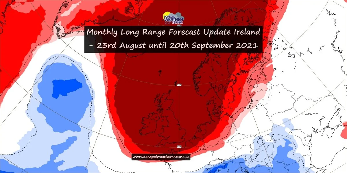
A spainish plume now looking likely next week
Following on from yesterdays update and as we move into the final week of the meteorological summer in Ireland we are likely to see the first surge of any real heat next week with a spainish plume event possible.
As mentioned over a week ago there was some signals that the end of June into early July was showing some good potential for warmer conditions.
The below shows temperatures mid week next week getting into the mid 20s and potentially into the high 20s on 1 or 2 days.
We are currently looking at the warmer air mass starting to push up over Ireland next Monday and Tuesday with temperatures in the low 20s but by mid week some models now suggest temperatures will rise into the mid to high 20s with the Ecmwf model keeping these warm conditions until Friday.
The spainish plume what is it?
The Spanish Plume is a weather pattern in which a plume of warm or hot air moves up from Iberia or the Sahara to northwestern Europe which first gives a few hot nice day but then as the plum breaks down it leads to thunderstorms some which can be severe.
This meteorological pattern can lead to extreme high temperatures and intense rainfall during the summer months, with potential for flash flooding, damaging hail, and tornados .
Some of these intense thunderstorms are formed from thermal lows, which are also known as heat lows. This low pressure system can be seen on the below chart the green area over the bay of biscay west or France feeding these intense thunderstorms up across Ireland at the end of next week and next weekend once the warm air is in place.


