
A Sudden Stratospheric Warming has occurred this week and could see colder weather return
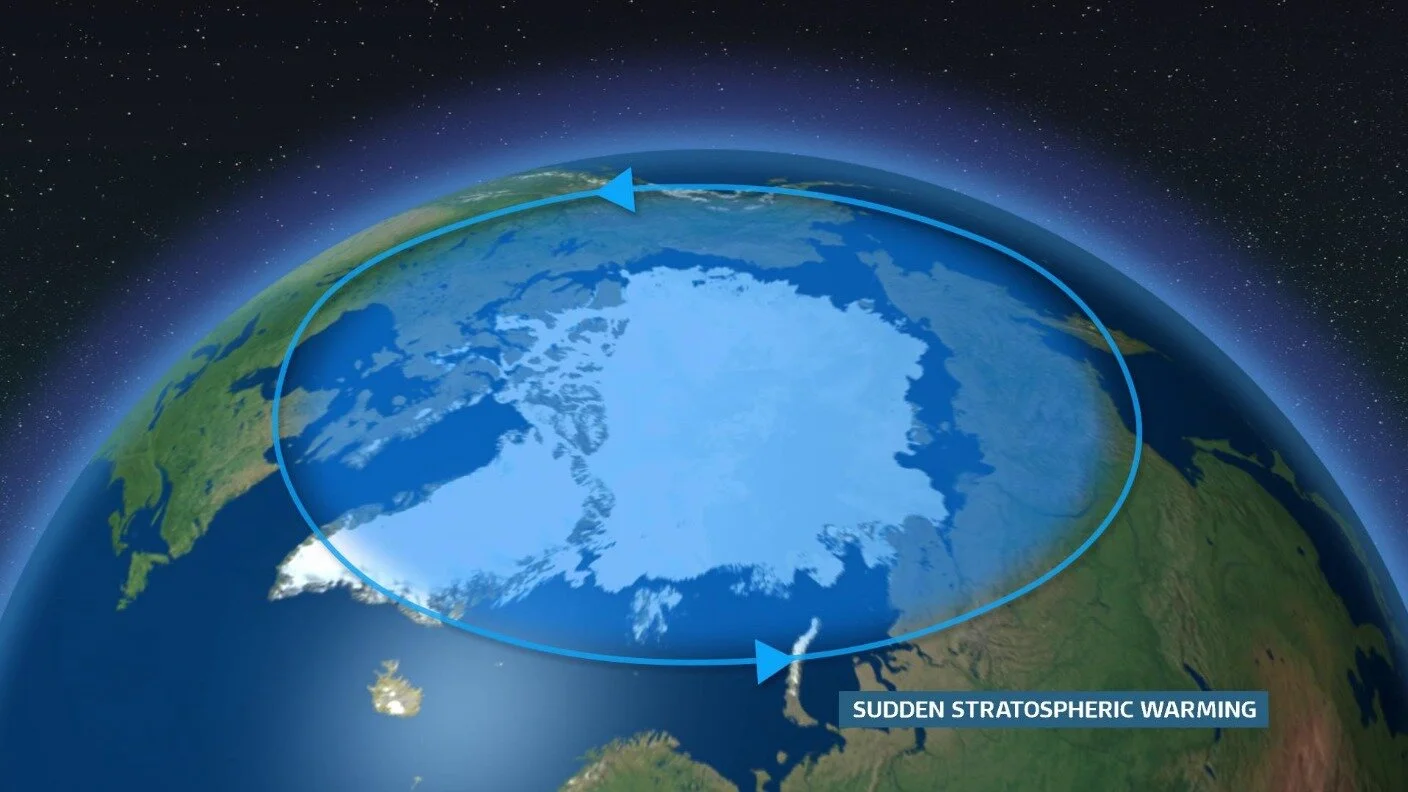
A Sudden Stratospheric Warming has occurred this week something that we talked about back 2 weeks before Christmas and early December when it started to show on some of the longer range forecasting model for example the GFS weather forecast model and then by the ECMWF forecast model over Christmas week.
Met Eireann and the Met Office UK have also now confirmed this event in the Stratosphere.

you may have seen in the media this week which some outlets have stated that this current cold spell was a result of that well just to put things right it was due to northern blocking and not the actually Sudden Stratospheric Warming which has occurred which takes some time to effect our weather as it has to work its way down from the Stratosphere into the layer of the atmosphere where are weather is formed called the Troposphere.


It is to early yet to say but I would not rule out a return to colder conditions coming into the 2nd or last week of January. With the (SSW) Sudden stratospheric warming event which has occurred this week high up in the stratosphere this could result in colder conditions near the end of the month. It normally takes around 2 week or after to see any results from a SSW as it takes time to work its way down to the Troposphere where are weather is made. A SSW sees cold air descending above the Arctic, resulting in warming by as much as 50°C. This is in association with a significant weakening or reversal of westerly winds circulating around the North Pole between 10 and 50 km above the ground – the stratospheric polar vortex. Normally with a SSW it increases the risk of the zonal winds reversing with a higher chance of a easterly or northeasterly airflow this time of year which can result to colder conditions moving out of Arctic like we seen back at the end of (February 2018 the beast from the east) or another example would be (the big freeze of 2010). It is also important to point out that we could miss out also with no effects with a normal westerly flow. A SSW increases the risk of more prolonged and significant snowy and cold spell.
During these events the vortex can break down completely, and when this happens the disruption in the stratosphere can trigger a shift from westerly to easterly winds which can be followed by lower-altitude winds shifting in the same direction. On average 70% of occasions see this switch to easterly conditions at ground level, with the resulting cold and easterly shift in our weather.
Any such effects from the SSW across Ireland and the UK could start showing from around the 20th of December into the end of January with some weather forecast models over the coming week possibly showing something more colder on the horizon. The Gfs forecasting model which was hinting at a SSW for around the end of December or over the first week of January 2021 was showing signals as early as mid November and the latest outputs from the model is showing signals of something a little colder again for the 2nd last week of the January but it will be watch and wait until other models come into play and into a better time frame for forecasting that week.
The is a high chance we will see some sort of change with a cold snap from around the 19th/20th of January onwards but how severe is not yet known.
Will we see another beast from the east or big freeze in the coming weeks well at the moment no forecaster can tell you that for sure but we can go by what is happening now in the upper layer of the atmosphere and as mentioned above on average 70% of occasions see this switch to easterly conditions at ground level, with the resulting cold and easterly shift in our weather. So that leaves a 30% of a westerly ,unsettled, milder and more normal winter conditions we are use too. Note another outcome could be that mainland Europe could see freezing conditions and we sit on the wrong site of the flow resulting in mild conditions which we have seen happen before.
You can find all the latest weather warnings and forecasts by downloading our app from the google play store by clicking below

LATEST NEWS


