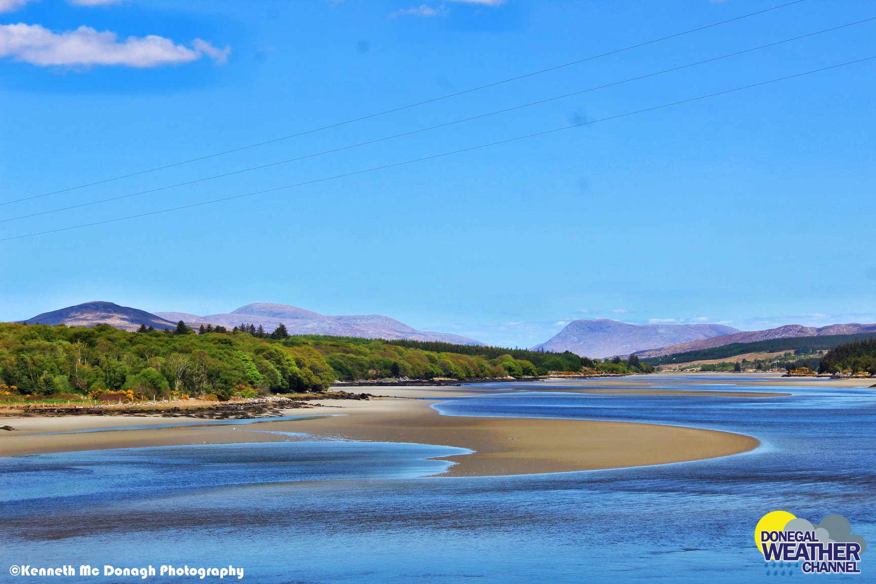
DRY & WITH SUNNY SPELLS THIS MAY BANK HOLIDAY WEEKEND BUT COLD IN A NORTHERLY AIRFLOW
This bank holiday weekend looks set be a nice one with high pressure moving from the north leading to a nice dry bank holiday weekend with some nice sunny spells around the country at times.
Wednesday will start of dry with sunny spells but over the afternoon and evening there will be the risk of a few showers moving in from the Atlantic some will be heavy and could see the risk of thunder and some hail.
On Thursday further heavy showers will move in from the west over the afternoon and evening with the risk of some heavy falls in places especially over southern areas where there again will be the small risk of some turning thundery.
Temperatures on both Wednesday and Thursday will range between 11C to 15C.
CONTINUES BELOW
On Thursday night the last of the showers will clear to the southeast of Ireland with clear spells developing in places across Ireland but some cloud around too amounts small top temperatures overnight around 4C to 7C.
Friday will be a dry day across Ireland and may see the start of a longer spell of dry weather again. There could be a little rain on Friday for a time but amount rather small with many areas staying dry with a mixture of cloud and sunny spells. It will be a cooler day in a northerly airflow with temperatures between 9C to 15C coolest over Ulster.
The May Bank holiday weekend look set to be a dry one on both Saturday and Sunday.
Saturday looks set to start of sunny but over the afternoon and evening cloud looks set to spread from the north moving southwards before clearing overnight again to give a cold and frosty night with lows of 0C to 4C, Gardeners should be aware of this .
Sunday will be another dry day with a mixture of cloud and sunshine over the day and the slight risk of frost overnight again.
Temperatures on both Saturday and Sunday will range between 9C to 15C coldest over the northern half of Ireland but perhaps a little warmer on Sunday.
For early next week the signs are for the weather to stay dry with temperatures around average for the time of year. There is uncertainty what will happen from mid week onward with some models suggesting the Atlantic to return and others going for further high pressure keeping the weather rather dry until mid month and perhaps becoming a little warmer too.
CONTINUES BELOW
2019 CALENDAR NOW ON SALE


