
High pressure building later this week with drier and sunny weather from Thursday onwards
UPDATED 22/02/21
By the end of the week the weather will settle down with high pressure building with more sunshine also in the Forecast for the end of the week, weekend and Next week but first we have some very poor weather to get out of the way first which will effect Ireland later Monday into Wednesday with very heavy rainfall, flooding and strong winds.

JET STREAM MOVING AWAY FROM IRELAND NORTHWARDS

A strong Jet stream on Tuesday across Ireland
The week gone by has been rather unsettled due to the Jet stream which has been sitting across Ireland over the last 7 days bringing in areas of low pressure like a conveyer belt with heavy rainfall and strong winds at times. The image above shows the Jet stream across Ireland on Tuesday feeding further wet and windy weather across the country.

The good news is that come later next week many of the forecast models show the jet stream becoming much weaker and heading northwards above Ireland and Scotland by next weekend which will bring much more settled conditions across Ireland.
Ireland will also sit under the south and mild side of the jet stream which will keep temperatures in the low teens.

Jet steam moving northwards above Ireland next week to bring much more settled weather


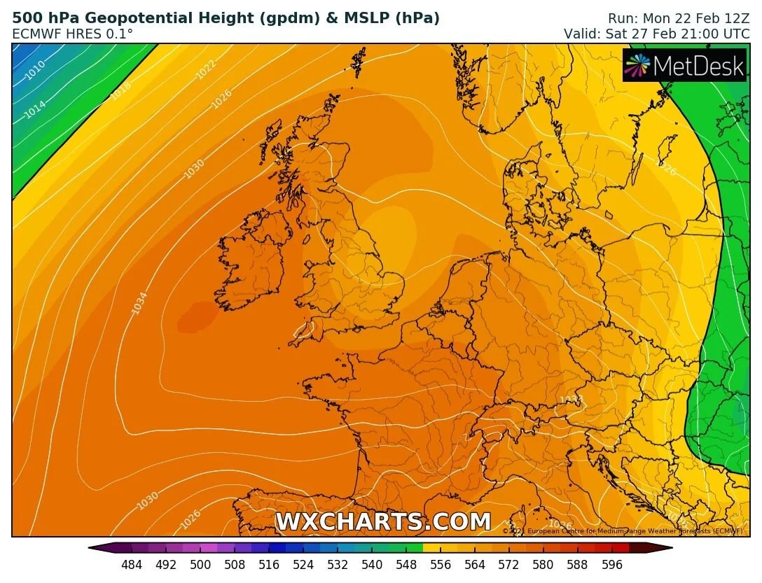
A ridge of high pressure building later next week and over next weekend will see dry weather for much of Ireland with good sunny spell also developing from Thursday to Sunday next week at times some cloud possible at times but a lot of sunshine also. The image below shows that ridge of high pressure across western Europe and will be much welcomed.
Temperatures Thursday to Friday will range between 7C to 11C not massively mild by day but a improvement . At present some frost will be possible from Thursday night until Sunday night with lows of -3C to 3C but with mainly dry weather in this timeframe we will see little impacts from icy roads. Some fog could cause low visibility at times due to winds becoming very light.
Some isolated showers may be possible for a time in Thursday and Friday but overall it will be mainly dry and much improved.

DRIER AND SUNNIER OVER THE 1ST WEEK OF MARCH

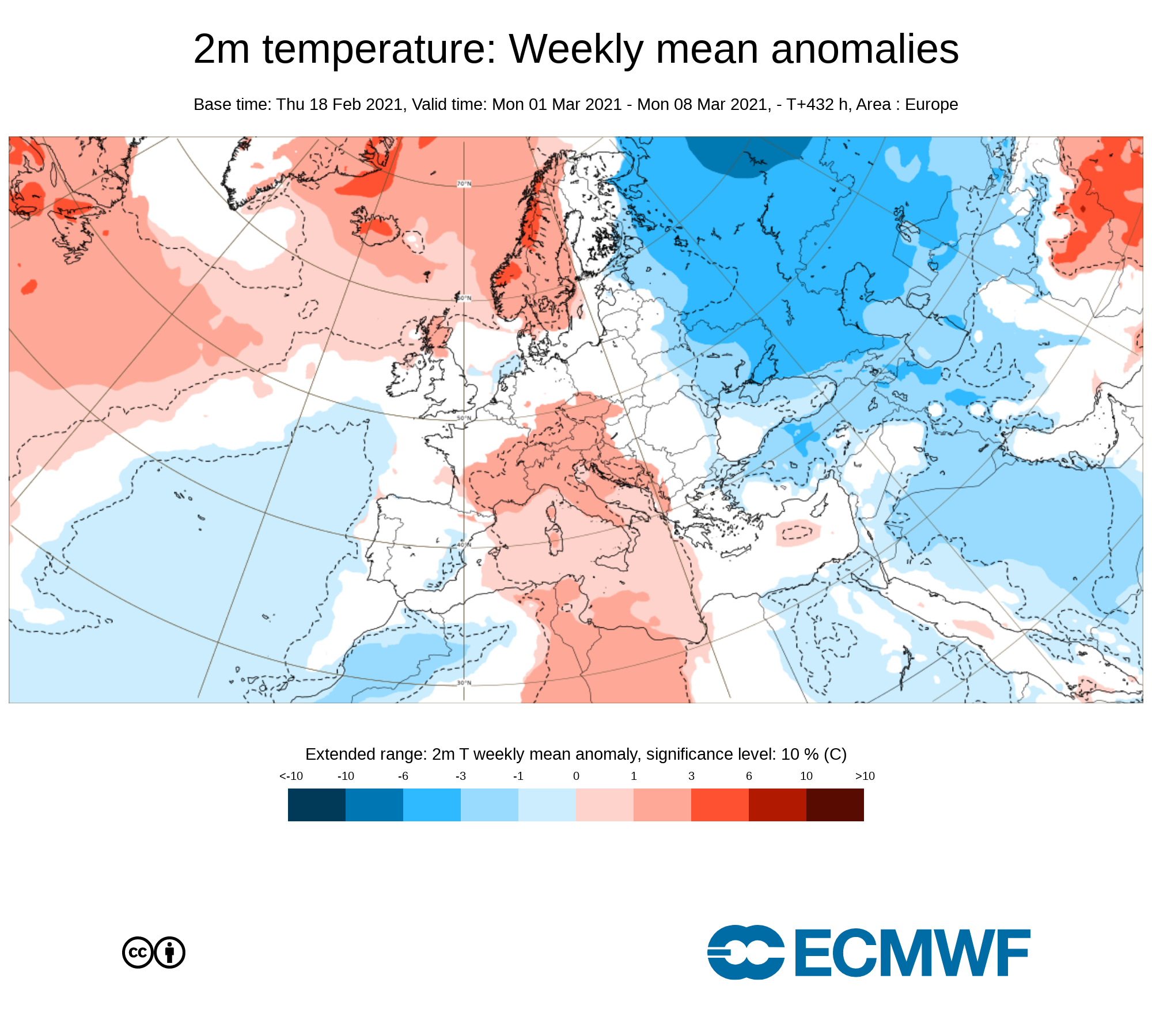
Many of the forecast models including the one I am using in this update the ECMWF weather model shows the first 7 days of March been dominated by high pressure across western Europe which includes Ireland with the center of the high pressure sitting close to Ireland which can be seen on the above chart. This would mean very dry weather with below average rainfall amounts and above average sunshine. The below chart from the ECMWF currently shows that there is a 80% to 90% chance of higher pressure across Ireland over the first week of the March so rather than coming in like a Lion it will come in like a Lamb.

Temperatures over the first week of March will be average all areas between 8C to 13C but cool or cold at night with frost possible in some areas with lows of around -3C to 4C with the increasing risk of fog
Rainfall amount would be below average with only the risk of a few isolated showers.
temperatures over the first week of the month of March average everywhere
THE REST OF MARCH

After the first week of March its then uncertain but looking at the latest ECMWF weather model long range forecast its shows the mean sea level pressure across west Europe and over the Atlantic higher than average which would indicate that March will be a rather dry month with below average amounts of rainfall and good sunshine. But lets hope we don’t see a early summer arriving in spring like 2020 when the months of March, April and May seen rather dry and below average rainfall amounts with the pattern then changing come June 2020 with lower heights and unsettled conditions over the rest of the summer 2020. I think we all deserve a warm and sunny summer with the year that was in it. One of the good things about the timing of the drier weather last spring was that the much of the country was at home due to the Covid outbreak and able to get outside and enjoy it.
Kenneth from the Donegal Weather Channel
You can find all the latest weather warnings and forecasts by downloading our app from the google play store by clicking below

LATEST NEWS


