Ireland at risk to been hit by the remnants of tropical storms and hurricanes next week
The jet stream forecast is for it to intensify next week with the risk of wet, windy and cooler weather
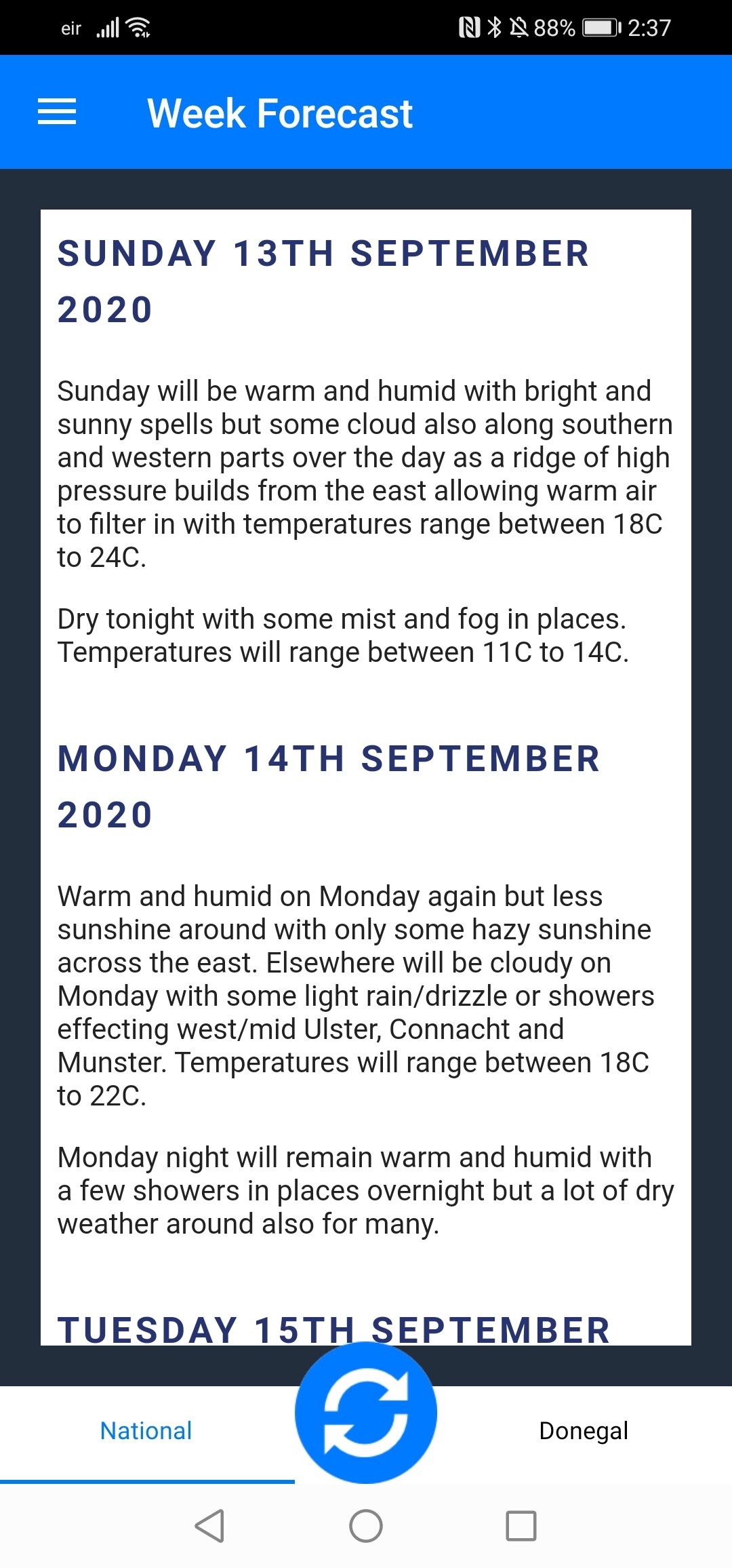
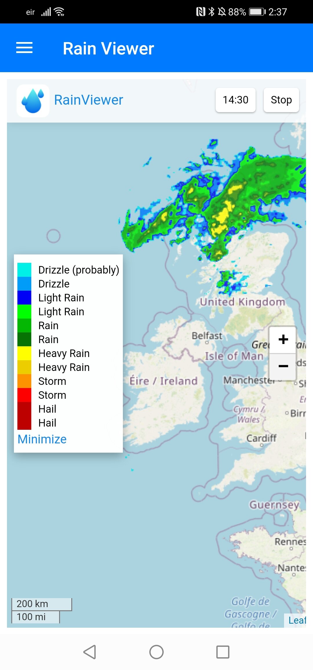
At present the weather is nice and pleasant across Ireland with high pressure in places giving fry weather with some nice bright and sunny spells in places also. Winds are light with not much rain in sight over the coming 3 to 4 days at least not until Monday when there may be some light rain or drizzle across the northwest of Ireland.
Something I have been talking about in my forecasts over the last week is how active the tropical Atlantic has been since last weekend with 7 areas of interests with Hurricanes, tropical storms and Disturbances which have become and or likely to become Hurricanes or Tropical storms over the weekend.
Tropical Storm Sally downed trees, flooded streets and homes and knocked out power, reportedly killing one person, as the former hurricane pounded the US southeast with torrential rain. Sally made landfall overnight near Gulf Shores, Alabama along the border with Florida as a Category 2 hurricane.
Slow-moving Sally, which was subsequently downgraded to a tropical storm, then lingered over parts of southern Alabama and the Florida panhandle where it caused severe flooding with copious amounts of rain, the National Hurricane Center said.
"Catastrophic and life-threatening flooding continues over portions of the Florida Panhandle and southern Alabama," the NHC warned.
NEXT WEEK TURNING UNSETTLED AND POTENTIALLY WINDY
As mentioned in my forecasts over the last week i said that the potential for wet and windy weather would increase over next week with high pressure moving away as a number of areas of low pressure move across the Atlantic some of them low been the remnants of some of the Tropical storms and hurricanes currently in the tropical Atlantic getting caught up in the jet stream and moved quickly across the Atlantic.
Some of the remnants low/tropical storm or hurricanes can sometime spring up secondary low pressure systems which can quickly intensify moving across the Atlantic forming into strong Atlantic wind storms.
The jet Stream
Next week the latest signs are that jet stream will be near Ireland and the UK which will increase the risk of areas of low pressure getting caught up in it and bring wet and windy weather and potentially evening very windy weather for places.
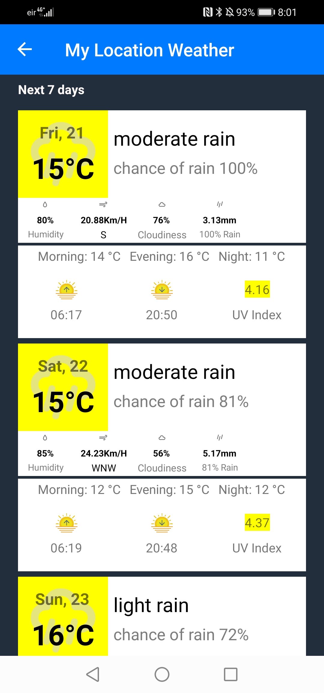
Rainfall amount next week will also increase with some areas seen average or above over the second half of next week and next weekend.
Jet Stream forecast for the middle and end of next week
The latest forecast outlook from the GFS and ECMWF weather models which are the main models for long term forecasting for up to a week show this pattern change and have been for the past few days.
Temperatures will also fall back next week back into the low to mid teens as a cooler air mass will effect Ireland.
The remnants of Ex Hurricane Sally could bring some rain to Ireland on Tuesday with some heavy falls in the northwest and west in particular for a time.
from midweek on the the current outlook is not certain but the forecast models are leaning towards wet and windy weather but how wet and windy at the moment its to hard to say with a better idea known by the end of this weekend.
Kenneth from the Donegal Weather Channel
* Only ANDROID users at moment.
* Features under development.


