
Ireland could beat its record and see the highest area of high pressure ever on Sunday
Anomalie Geop 500hPa chart showing a rare and very strong area of high pressure to the northwest of Ireland
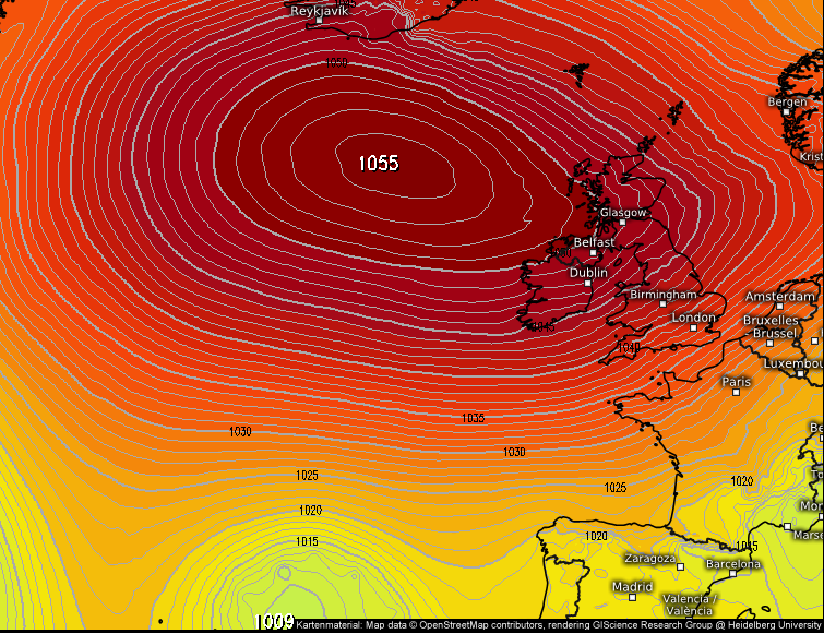
This weekend has been basking in sunshine so far as high pressure continues to build across Ireland with a rare and very high area of pressure of the northwest of Ireland
There is a very good chance also that this area of high pressure could break some pressure records across Ireland with the highest pressure reading ever recorded in Ireland over the month of March in Kerry at (Valentia) on the 13th of March in the year of 1900 with a pressure reading of 1047.1hPa
The overall time record pressure reading in Ireland was recorded at Kerry (Valentia Observatory) 28th January 1905. This record could also be broken. The current record held from that date is 1051.9hPa

The pressure reading showing on the GFS and ECMWF models show extremely high and rare high pressure over 1050hPa which can be seen on the chart below.

The charts below show a closer view of Ireland and the UK and you can see that very high area of pressure of over 1050hPa getting into the northwest of Ireland where there is a good chance that the record could be broken at the Met Eireann’s weather stations in Donegal, Mayo and Sligo.
There is a possible chance that the pressure reading could be broken at a number of stations which I have included below.
DONEGAL
Malin Head station
Finner station
MAYO
Belmullet station
Newport Mayo
SLIGO
Markree station

The latest model run from the ECMWF model show that 1050hPa pressure line getting very close to the northwest of Ireland on Sunday afternoon and evening and during this period the record for march looks set to be beat with northwestern weather stations recording new record high readings. There is also the outside chance the overall record could be beaten.

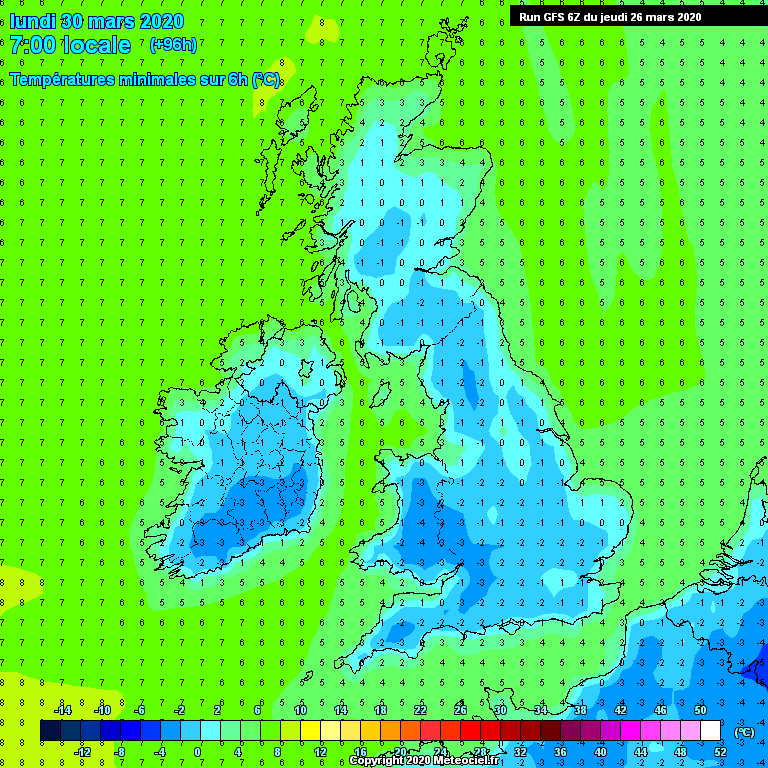
It will turn much colder from Friday up until at least next Tuesday with a very cold northeast to easterly airflow that will see temperatures over the last few day of the month in single figures by day with very cold and frosty night with temperatures dropping as low as -3C as that colder arctic air effects us.
Saturday, Sunday and Monday will see dry weather across Ireland with good bright and sunny spells. Saturday day time temperatures will range between 5C to 12C but Sunday , Monday and Tuesday next week temperatures will only range between 5C to 9C.

After Tuesday next week there is uncertainty in the forecast but the main theme on the model for the rest of next week is for a lot of dry weather with a little more cloud around but still good sunny spells at time in places. The ECMWF has back of from the colder outcome near the end of next week which was showing heavy wintry showers and now as a drier outcome with only a few light showers around in places.
With nice weather expected over the weekend with high pressure build out to the west over the Atlantic i would ask people not to flood to beaches and tourist attractions as this will increase the risk of catching and spreading the COVID-19 virus. Please enjoy the sunshine and weather from home.
Ireland has much worse days ahead with the peak of this virus still a few weeks away but you the public can help by doing your part.

LATEST NEWS


