The tropical Atlantic now alive with 3 Tropical storms and 2 Hurricanes
It is now very active in the Tropical Atlantic with a total of 5 weather systems Teddy, Vicky, Rene, Paulette & Sally.
Two of these weather system are currently Hurricanes Paulette & Sally.
HURRICANE PAULETTE
The eye of Paulette will gradually move away from Bermuda today, however, hurricane and tropical storm conditions, storm surge, and very heavy rainfall will likely continue into this afternoon.Swells produced by Paulette are affecting portions of the Leeward Islands, the Greater Antilles, the Bahamas, Bermuda, and the east coast of the United States. These swells could cause life-threatening surf and rip current conditions.
HURRICANE SALLY
An extremely dangerous and life-threatening storm surge is expected for areas outside the southeastern Louisiana Hurricane and Storm Damage Risk Reduction System from Port Fourchon, Louisiana, to the Alabama/Florida border, where a Storm Surge Warning is in effect. Residents in these areas should follow any advice given by local officials.
Hurricane conditions are expected tonight within the Hurricane Warning area in southeastern Louisiana and are expected by late Tuesday within the Hurricane Warning area along the Mississippi and Alabama coastline. Tropical storm conditions are likely to begin later today and this evening in these areas and preparations should be rushed to completion.
Life-threatening flash flooding is likely, as well as widespread minor to isolated major flooding, on area rivers along and just inland of the Central Gulf Coast. Significant flash and urban flooding, as well as widespread minor to moderate river flooding is likely across Mississippi and Alabama through the middle of the week. Flooding impacts are expected to spread farther across the Southeast through the week. Sally could continue to produce flash flooding across the Florida peninsula and prolong existing minor river flooding across west-central Florida through today.
TROPICAL STORM TEDDY
Teddy will be moving through a favorable environment for intensification for the next several days, with SSTs increasing along the forecast track and shear remaining relatively low. The new NHC intensity forecast is similar to the previous one, showing Teddy becoming a hurricane in 36 hours and reaching major hurricane strength in 4 to 5 days.
TROPICAL STORM VICKY
Tropical storm Vicky is forecast to downgrade over the next 48 hours to a post tropical storm.
TROPICAL DEPRESSION RENE
Rene will downgrade further over the coming hours and day and become a post tropical storm.
WILL ANY OF THESE EFFECT IRELAND
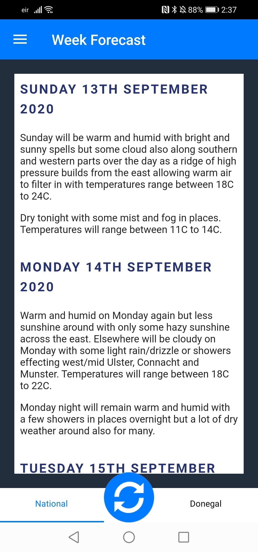
High pressure will build over the later half of this week across Ireland lasting over the weekend to bring nice fine and settle weather for most areas. After Tuesday there is some uncertainty mostly due to the amount of storms and hurricanes in the tropical Atlantic which could get caught up in the Atlantic within the jet stream and steered across the Atlantic later next week or next weekend bringing wet and windy weather.
* Only ANDROID users at moment.
* Features under development.


