Latest update on Hurricane Epsilion and the possible impacts it will have on Ireland next week
Latest track of Hurricane Epsilon over the weekend and early next week - National Hurricane Center
There is alot of uncertainty in the forecast for what sort of impacts Hurricane Epsilon will have on Ireland next week .
Firstly to say Epsilon is currently a category 1 hurricane but is expected to go through a extra-tropical transition over the next number of days. On Monday the remnants Epsilons will engage with the Jet Stream as it moves northeast/eastwards across the Atlantic with a second low pressure system moving down out of Greenland and merging into on large Atlantic low which will then rapidly intensify undergoing explosive cyclogenesis which is a big drop in central pressure that decreases by 24hPa or more within a 24 hour period.
EUROPEAN WEATHER MODEL - ECMWF
The latest ECMWF model this evening has the center of the low pressure system stalling to the south of Iceland keeping the stronger winds away from Ireland. This scenario still would see large sea swells and gusty winds just not as severe winds. A band of rain would also be possible from the out bands of the storm.
The animation below is from the ECMWF and shows Epsilons remnants engaging with the Jet Stream and another low coming out of Greenland merging and then moving northwards to the west of Iceland lowering the impact on Ireland but this is uncertain.
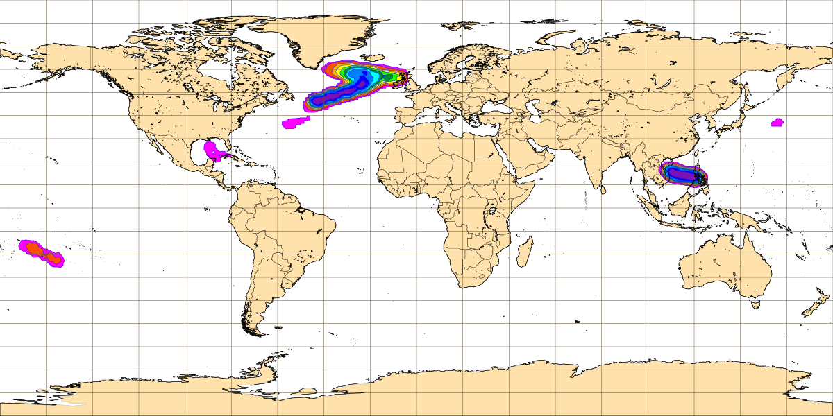
Risk of Tropical storm in the Atlantic between Friday 23rd October and Wednesday 28th October 2020
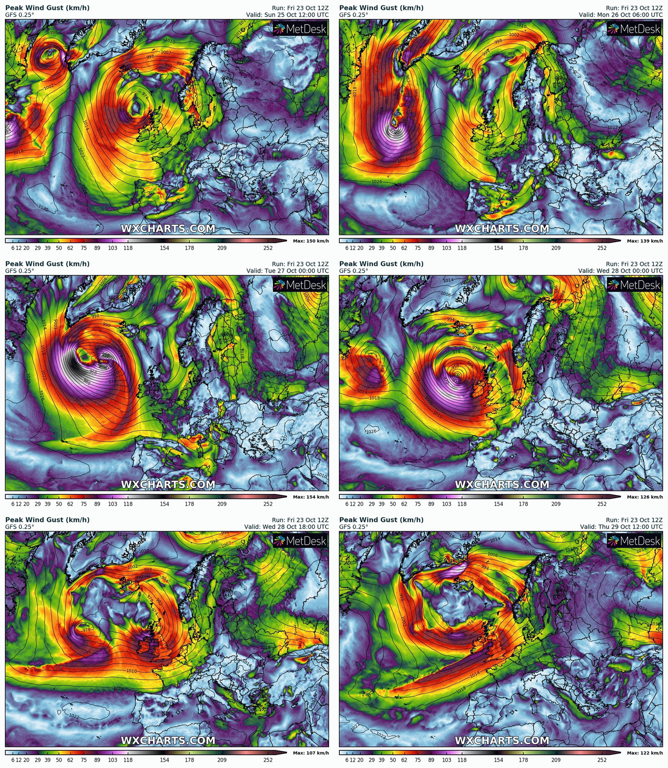
AMERICAN WEATHER MODEL - GFS
The GFS model this evening shows a more severe impact with strong to severe wind gusts for parts of Ireland as the storm passes to the north of Ireland on later Tuesday and Wednesday. Coastal and tidal flooding would be possible with big swells. Heavy rain and showers will also be possible.
The animation below is from the GFS and shows Epsilons remnants engaging with the Jet Stream and another low coming out of Greenland merging and moving eastwards with the center of the Atlantic storm passing to the north of Ireland moving towards west of Scotland.
Some Large seas are expected next week along the coastal water of Ireland Scotland and Iceland with wave heights of between 6 to 10 meters along Atlantic coastal areas. The chart below is the Significant wave height and mean direction
Significant wave height and mean direction - ECMWF
There is a lot of uncertainty at the moment which should become much more clearer over this weekend. To say what will actually happen at present its to early to call. I will have further updates on Saturday and Sunday on the risk.
You can find all the latest weather warnings and forecasts by downloading our app from the google play store by clicking below


