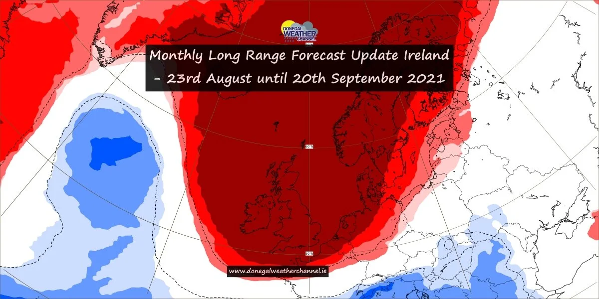
Signs that the weather will settle down next week with high pressure building into March
After what has been a rather active week and half with weather there are signs in the longer range forecast has we head into March that the weather will settle down with high pressure building and possible increasing as we move into mid March.
The main reason for so many storms, wind, heavy rain and snow over the last week and half was due to the Jet stream which was firing on a cylinders which kept feeding low pressure systems near Ireland and over Ireland with them intensifying in nature as they did so.
The good news is that the Jet stream is set to drift away from Ireland over the next week increasing the chance of more settle weather with some sunny days in the mix but not totally rain free.
As we head for the weekend there will be some further rain for place on Saturday evening and night with the west and northwest most at risk
Sunday evening, night and Monday morning another spell of rain will sweep across Ireland bring wet and windy conditions. Another very powerful low pressure system is set pass to the west and northwest of Ireland on Sunday night into Monday morning but the good news at the moment that the worst of this storm will stay out to see but it may become windy or stormy for a time across some western or northwestern coastal counites Sunday night and Monday morning for a time. Wind at present do not look as strong as last Sunday night when storm Franklin brought damaging winds to many areas especially across the west and north of the country. This storm is unlikely to be giving a name despite all the noise from Media outlets call for storm Gladys which the next storm will be named but not looking like it this weekend.
Next the weather looks set to improve with some signals now from weather models showing high pressure has we heading to the start of March and for Mid March. The Jet stream will move away from Ireland. This can be seen below
As we head into the 2nd week of March we are then looking at sign that the jet stream will weaken further with more higher pressure around increasing the chance of drier weather has we head for St. Patricks day. which can be seen on the below chart
Chart 1 - set stream becomes weaker with high pressure building into the 2nd week of March
Chart 2 - Blocking high pressure sits across Ireland over the 2nd week of Ireland leaving us nice and dry with sunny spells
CHART 1
CHART 2


