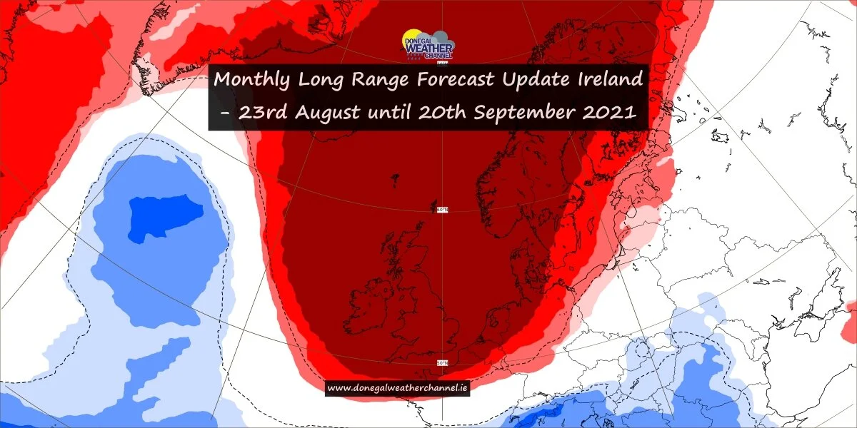
Still signs of warmer and drier weather from later this weekend and over the last week of August
IRISH WEATHER NEWS
Early during the week we had a post on how the end of August looks like it will end on a drier note with the possibility of warmer conditions also. As we stated it was early days and the the latest models runs at the time where just outliners which is basically models possibly picking up on a change down the road.
We have see this scenario over the years with the forecasting models picking up on certain spells of weather nearly 2 to 3 weeks before. It is never certain but sometimes certain characteristics in the atmosphere and different weather patterns and temperatures in certain parts of the world can give us a glimpse of what may be ahead.
As we head into next week there are signals of high pressure building near Ireland or over the country with a drier and warmer last week of August also been signaled. This has been showing on and off on the ECMWF and GFS model. The ECMWF long range weather forecast model has also been picking up on this for the last few weeks with a drier end to August and start to September been signaled. There are some talks of a possible heatwave returning for this period in the media but at this stage its to earlier to call with some of the media headlines making it sound more dramatic therefore people coming to Donegal Weather Channel to ask is there a heatwave coming.
Over the next 3 to 4 days the forecast for this weekend and early next week will become more clear and we should have a idea of what will happen at the end of the weekend and early next week. Below we will look at this Evenings ECMWF 12Z run and the GFS 12z run.
At present the latest ECMWF model shows a rather dry period from Sunday onwards and over the early days of next week but this still is not fully clear. The below charts shows the temperatures its forecasting for the last week of August.
The latest GFS model run is also showing the weather turning drier from next Sunday the 22nd of August with a very dry week to end the month with the it also showing the possible chance of temperatures rising into the low to mid 20s that week.
MOST LIKELY OUTCOME
The most likely outcome will be that some short of dry spells develops between 22nd and the 31st of August with temperatures rising into the low 20s for many and into the mid 20s in some places also. At this stage a end of summer heatwave does not look on the cards but it still could happen if we were to get a good plume of heat to coming up from Iberia and Africa.
I will keep you updated over the week.
Kenneth From the Donegal Weather Channel


