SNOW - Where in Ireland is at the highest risk of snow on Sunday & early next week
Image by Hauke Steinberg
On Saturday night a band of rain will move in from the Atlantic spreading west to east across Ireland clearing of the the east on Sunday morning. Behind this band of rain drier and clearer conditions will spread from the west with the risk of some icy stretches on roads Sunday morning especially across the west, northwest and north where air and surface temperatures will drop close to freezing levels.
As the band of rain clears to the east on Sunday morning colder air then filters in from the west and northwest with cold upper air temperatures of around -5C to -6C which would support any showers turning wintry. Upper air temperatures are the temperatures at 1500 meters above sea level and not sea level temperatures.
continues below
On Sunday evening and night heavy showers of rain will move into the west of Ireland spreading eastwards across Ireland overnight with these showers turning to hail, sleet and snow across the west, northwest and north. On Sunday evening and night air temperatures will drop down to freezing with air temperatures between -1C to 3C with the coldest temperatures across the west and northwest of Ireland where the highest risk of snowfall will be on Sunday night.
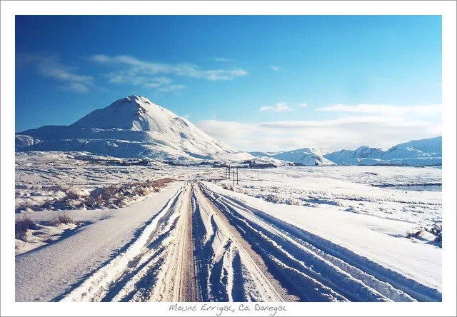
Counties most at risk will be Donegal, Derry, Fermanagh, Tyrone, Antirm, Sligo, Leitrim, Mayo, Galway and Roscommon. In these counties snow is highly likely over higher ground and mountainous areas with up to 10cm with some scattered accumulations to lowland areas in these counties on Sunday night and Monday morning with 1cm to 3cm.
continues below
Elsewhere on Sunday night showers will consist mainly of rain, hail and sleet across Ireland.
Once that spell of heavy showers merging into longer spells of rain, sleet and snow clears on Sunday night temperatures will drop further with hazardous driving conditions likely across Connacht and Ulster with some icy roads conditions and snow accumulations
Further showers will feed in across the west and northwest on Monday morning during dark hours with some accumulations also possible again across Connacht and west Ulster.
continues below
During Monday afternoon there will be further wintry showers across Atlantic coastal counties of the southwest, west and northwest with further snow accumulations possible over higher ground. Lowland areas will tend to see a mixture of rain, hail and sleet but on Monday evening and night showers will turn increasingly to snow again over some lowland areas. Some showers on Monday will turn thundery with scattered thunderstorms and possible thunder snow for some places.
Monday night will turn very cold with temperatures as low as 2C to -3C and possibly as low as -4C across some parts of Ulster with the risk of icy conditions on roads due to wet road surfaces and compact snow.
The outlook after Monday night is yet uncertain but there is a risk of further heavy showers moving in across Connacht and west Ulster again with the risk of further snow accumulations leading to hazardous driving conditions on Tuesday Morning.
Tuesday looks set to see further heavy showers these will be most frequent across Atlantic coastal counties where there will be the ongoing risk of some scattered thunderstorms again with some of these showers turning wintry.
Tuesday night showers look set to fade out with the odd like shower across the northwest possibly wintry with air temperatures falling between -2C to 2C with again the risk of icy road conditions.
Milder air then looks set to move in again for Wednesday with a rise in temperatures.
On Sunday night and Monday night a bitter windchill is also expected so many areas will feel like its -2C with some areas feeling like it as cold as -6C out.
A status yellow snow and ice warning my be issued as early as today and as late at midday Sunday for showers turning to snow with some accumulations for higher ground areas and at times to low level areas. Icy roads and hazardous driving conditions also will be likely.
Click on the tabs below to view the new forecasts available under the forecast section.
2019 CALENDAR NOW ON SALE


