STORM CALLUM UPDATE 8:30PM - SQUALL LINE WITH THUNDERSTORMS & SEVERE WINDS POSSIBLE OVER NIGHT AND EARLY FRIDAY MORNING
STORM CALLUM AND HURRICANE LESLIE SIDE BY SIDE
Storm Callum will move into the southwest at around 10pm tonight with severe and damaging gust along with heavy rainfall and flooding possible.
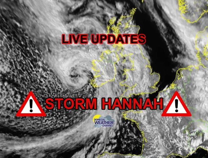
Over the afternoon and evening storm Callum has formed into a very deep Atlantic depression and can be seen on the image above
Looking at the latest satellite views and model runs tonight they are all in good agreement now of track of storm Callum. Tonight and early Friday morning the outer bands of Callum will move up over the country with the risk of very heavy rainfall and a Squall line forming.
First we see the warm front arrive and behind that a cold front which could cause alot of problems with a Squall lines forming as it pushes northwards over tonight. Squall lines are very dangerous particularly in storm system like this and can bring with it high amounts of rainfall in a short time and severe and damaging gust for a short period making it feel like a tornado has just ripped through an area.
Below I have attached the latest model runs from the ARPEGE HIGH RES MODEL shown this.
Possible squall line moving into the southwest later tonight and moving northwards model run for 12:00am mid night Friday 12th October 2018
Possible squall line passing Ireland early Friday morning and moving northwards model run for 3:00am Friday 12th October 2018
Possible squall line passing over ireland early Friday morning and moving northwards model run for 4:00am Friday 12th October 2018
A squall line is a line of thunderstorms forming along or ahead of a cold front. It contains heavy precipitation, hail, frequent lightning, strong straight-line winds, and possibly tornadoes and waterspouts. A Squall line are indicated on a weather map by a broken red line with two dots.
Continues below
Most of Ireland will be at the high risk of this with highest risk of thunderstorms in the southwest west and northwest of Ireland where heavy rainfall, straight line winds, flooding severe & damaging gusts are possible.
All ready on the latest satellite image update there is frequent lightning showing over sea and this could occur overland in the next hours.
The model runs showing the risk of lightning over the southwest and west of the country later tonight and early Friday morning around around 200J/kg to 500J/kg possible
The model runs showing the risk of lightning over the west and northwest of the country later tonight and early Friday morning around around 200J/kg to 500J/kg possible
I will continue to keep a eye on this over tonight and watch for any squall lines developing on radar which will give a good indication. Below you will see attached the latest satellite view of storm Callum of the southwest and west of Ireland tonight
Storm Callum moving into the southwest and west coast shortly with isolated thunderstorms, and strong to severe and damaging gust possible along with coastal flooding.
Below you will find different satellite views of storm Callum which has now formed into a very deep Atlantic depression of the over the course of today out at sea.
First image is showing the different air mass with cold air to the north and warmer air mass to the south. On the first image you will notice Storm Callum of to the southwest and west of Ireland and Hurricane Leslie of the west coast of Africa and the Canary Islands
First image is showing the different air mass with cold air to the north and warmer air mass to the south. On the first image you will notice Storm Callum of to the southwest and west of Ireland and Hurricane Leslie of the west coast of Africa and the Canary Islands
this image shows the EVIEW of storm Callum
this image shows the natural colour of storm Callum


