A good sunny and warm week ahead with temperature set to rise to 26C
IRISH WEATHER NEWS
Today has been a rather decent day across the west and south of Ireland after some early morning rain with mainly dry conditions there but across Ulster and parts of Leinster it has been a different story with flash flooding reported across parts of the east and north of the country with heavy showers and thunderstorm giving some intense rainfall with one part of Dublin receiving 20mm of rainfall in the space of a hour at Churchtown weather station.
The good news is that Sunday will mark the return to more drier and settled weather and as week head into next week the weather will improve big time.
Sunday
Sunday will be a mostly dry day for all areas with some cloud to start but as the day goes on bright and sunny spells will develop as as pressure builds and higher pressure starts its take over. Across parts of the west Connacht and parts of Munster it will tend to be on the cloudier side with the risk of some drizzle along coastal areas there. Across the northern and eastern half of Ireland will see the best of the brighter and sunny spells over the afternoon and evening. Temperatures will range between 17C to 21C warmest in the east and midlands
Monday to Friday
Monday to Friday next week will be dry 5 days for much of the country. The week is also set to see a lot of sunshine with people also been able to top on much needed vitamin D.
You may ask will it be warm enough to crack the old T-shirt and short out and to answer that yes it will be for most as temperatures will be in the low to mid 20s over the coming week with high peaking at around 26C during the week but not in all areas.
The warmest places over the week will most likely be across the southwest, west and northwest of the country with a little cooler condition along eastern areas due to a easterly breeze but even at that it will be rather pleasant across the east also.
Temperatures in the 20s widely next week
The latest signals from the GFS and ECMWF model this evening are showing that the last few days of August and Early September are set to start with higher pressure across Ireland with the ECMWF tonight following the GFS trend. This would mean a rather dry and sunny weather next weekend with temperatures still in the low 20s.
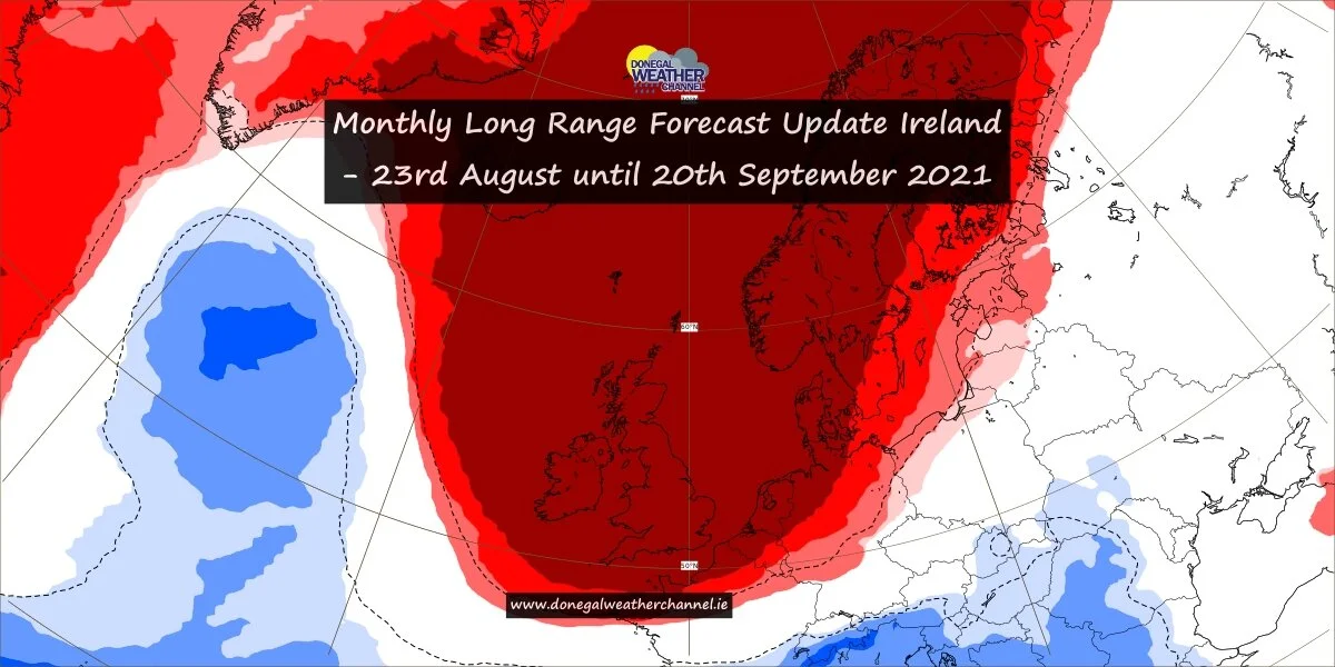
We issued are monthly forecast earlier today where I explained that next weekend there was some uncertainty but from the latest ECMWF model this evening that is a little more certain now it will remain drier and sunny next week. I would also expect the long range ECMWF model on Monday to show the first week of September been rather settled and on the warmer side with a breakdown to more unsettled weather over the end of the first week of September or into the second week.
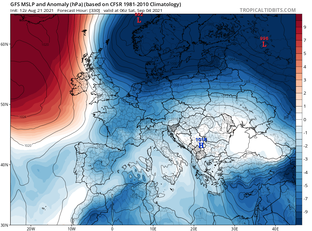
The chart below shows the GFS model run for the 6th of September which is as far as it goes and it shows higher pressure over Ireland bring warm conditions before turning it cooler towards the end of the last week of September with a northerly airflow
Donegal Weather Channel will keep you updated over the weekend on any changes to the forecast for next week and next weekend when we will also be in a better timeframe. But the good news is next week is looking dry and sunny with temperatures in the low 20s so enjoy as there are signs it could become rather unsettled around mid September.


